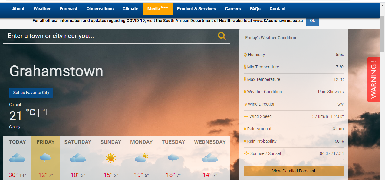
For Makhanda, the cold arrives Friday and stays through Saturday, warming up to 15C max on Sunday. Here, the South African Weather Service predicts 3mm rain on Friday (tomorrow) and 3mm on Tuesday, but otherwise just cold.
An intense cold front associated with a steep upper-air trough, currently moving in over the south-western Cape, is expected to spread eastwards to the central and eastern parts of the country during the course of this weekend. Cold to very cold temperatures are expected over the central, southern and western parts of the country from Friday into Saturday (27 to 28 August 2021). Atmospheric conditions will become ideal for widespread snowfall to occur over the high-lying areas of the Cape provinces during Friday. Snowy conditions will subsequently spread to KwaZulu-Natal and Lesotho on Saturday.

Figure 1: Satellite image for Thursday 26 August 2021, indicating the approaching cold front, located over the western Atlantic Ocean. Source: Eumetsat (2021).
Disruptive snowfalls of 5 to 10 cm are expected from Friday onwards over the high-lying areas of the Western Cape as well as the western and southern high-lying areas of the Northern Cape. Heavier snowfall of 10 to 20 cm is also likely over the extreme south-western parts of the Northern Cape (including the Nuweveld and Roggeveld mountains) as well as the Cederberg and Hex River mountains of the Western Cape. Due to significant cooling within the atmosphere and corresponding lowering of freezing levels, snow can also be expected at lower altitudes and in the lower foothills of mountain ranges.
Snowy conditions are expected to reach the western and central high-lying areas of the Eastern Cape (Sneeuberge and Winterberge mountains) during Friday evening, while the south-western and western high- lying areas of KwaZulu-Natal and the Drakensberg region can anticipate snowfall by Saturday.
Figure 2: Snowfall accumulation (24 hour) in cm for Friday (left) and Saturday (right). Source: High Resolution Unified Model (South African Weather Service)
These conditions will persist until Saturday morning over the western and southern parts of the Northern Cape and the high-lying areas of the Western Cape, persisting well into the evening over the high-lying areas of the Eastern Cape and the western and southern high-lying areas of KwaZulu-Natal. The extreme north-eastern Drakensberg mountains of the Eastern Cape and the south-western mountains of KwaZulu-Natal may experience disruptive snowfall during the course of Saturday, which may result in the closure of mountain passes and associated disruption to traffic due to icy and slippery roads. Moreover, some communities at higher altitude (such as ski lodges) may become isolated due to deep snow drifts.
Figure 3: Predicted maximum temperatures (left) and 24-hour rainfall accumulation in mm (right) for Saturday (28 August 2021). Source: High Resolution Unified Model (South African Weather Service)
Cloudy, cold and wet weather will persist on Saturday, 28 August 2021 along the south-western, southern and south-eastern coastal regions of the country, extending across the eastern half of the Eastern Cape and most parts of KwaZulu-Natal. Significant rainfall, in the order of 20 to 40 mm may occur over parts of KwaZulu-Natal and the extreme eastern parts of the Eastern Cape on this day. Cold to very cold conditions will dominate the majority of the interior of the country on Saturday and Sunday, with the possible exception of the north-eastern Lowveld areas, where, by contrast, it will be warm to hot on Saturday.
South Africans can expect a gradual clearing in weather conditions, combined with a consistent recovery in daily daytime temperatures from Monday onwards. Given that overnight minimum temperatures may take several days to recover in the wake of this cold spell, there is a distinct possibility of overnight frost occurring over parts of the interior early next week.
The South African Weather Service will continue to monitor any further developments relating to this weather system and will issue subsequent updates as required. Furthermore, the public are urged and encouraged to regularly follow weather forecasts on television and radio. Updated information in this regard will regularly be available at www.weathersa.co.za as well as via the SA Weather Service Twitter account @SAWeatherServic
Compiled by Wayne Venter and edited by Kevin Rae.
- Media release from the South African Weather Service.